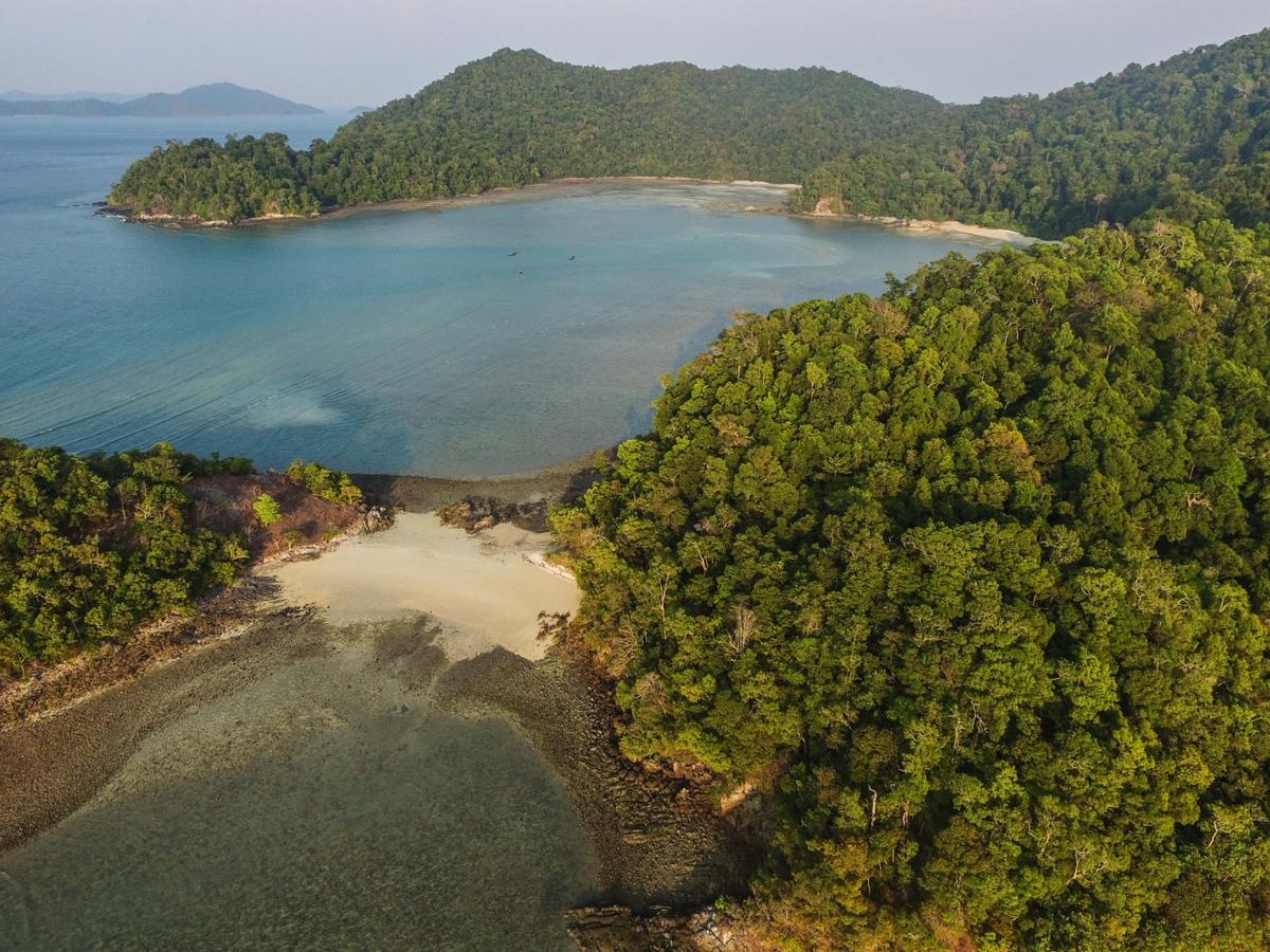
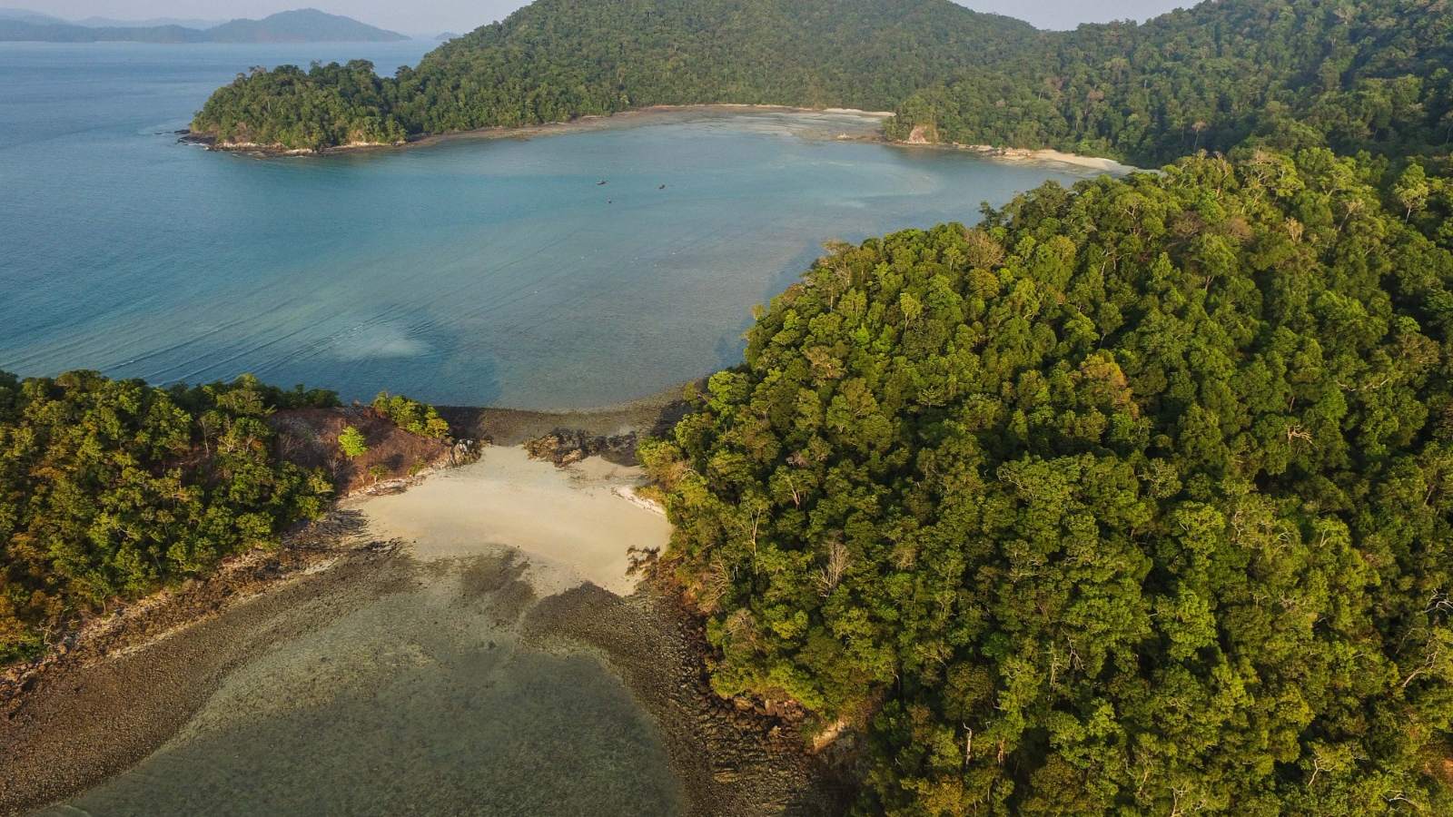
Aerial view of a forested coastline and mangroves

Portfolio

A selection of lighthouse projects from a wider portfolio of nature-based projects and programmes across 15 countries, from blue carbon to forests and working land.

Lighthouse projects

A few of the projects that best represent our work, with a strong ocean and blue carbon focus. They sit within a much wider portfolio.

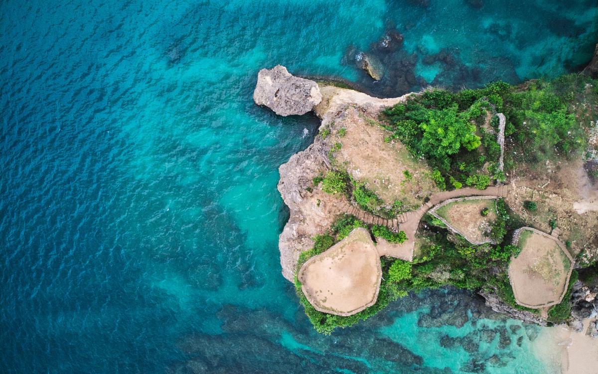
Aerial view of a reef island and turquoise lagoon

Kingdom of Tonga · since 2022

Blue carbon and natural capital

Since 2022, GAIT has worked with the Government of Tonga to map the Kingdom’s forests, mangroves and coastal ecosystems, and assess their carbon and nature-based potential. The work runs from land-cover analysis through to feasibility and financing pathways, preparing high-quality blue carbon projects for investment.

  • Land-cover and ecosystem mapping
  • Blue carbon and natural capital assessment
  • Feasibility and financing pathways

PartnersMEIDECC, Government of Tonga
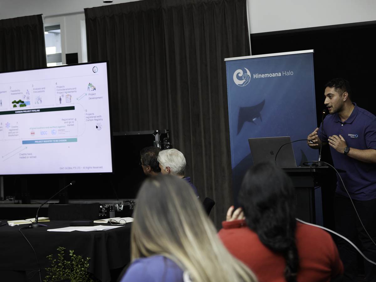
Saurav J Bansal presenting to Hinemoana Halo partners

Aotearoa New Zealand

Hinemoana Halo

Geospatial mapping and blue carbon feasibility for Hinemoana Halo, an Indigenous-led ocean conservation initiative across Aotearoa and the Pacific. Indigenous leadership, cultural values and local participation sit at the centre of the project design.

  • Geospatial mapping
  • Blue carbon feasibility
  • Indigenous-led project design

PartnersConservation International Aotearoa and iwi partners

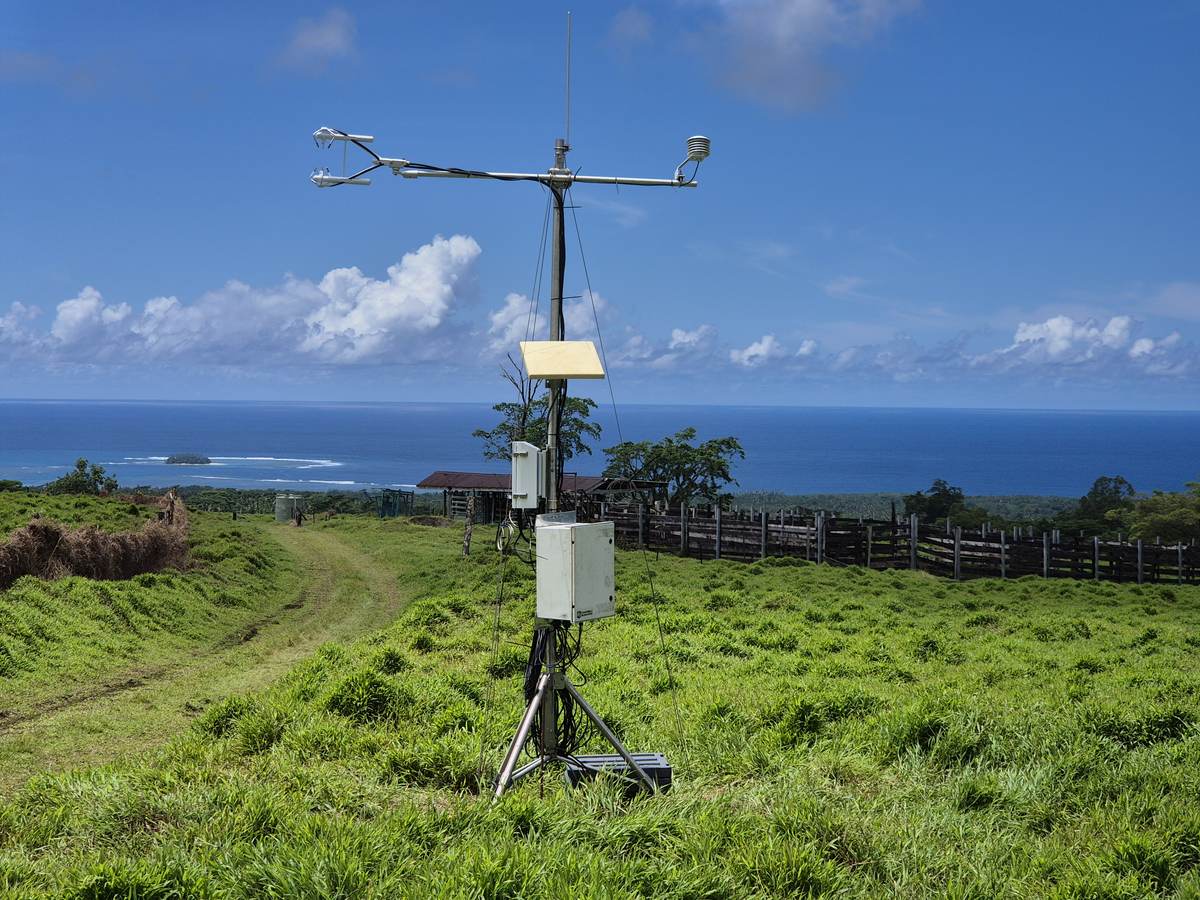
GAIT Flux sensor above the coast in Samoa

Samoa · 2024–2026

National carbon study

A national study for the Government of Samoa’s Ministry of Natural Resources and Environment, mapping land use and carbon stocks across forests, soils and mangroves. GAIT Flux sensors installed with the Ministry support ongoing AFOLU monitoring and climate finance readiness.

  • Land-use and carbon-stock mapping
  • AFOLU monitoring
  • Climate finance readiness

PartnersMinistry of Natural Resources and Environment, Samoa

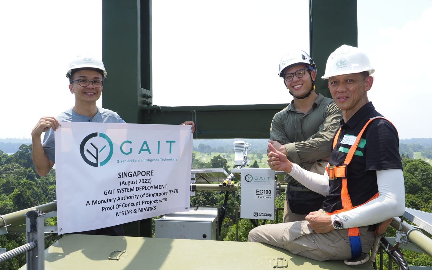
GAIT, A*STAR and NParks team with the GAIT system on the MacRitchie Reservoir tower, August 2022

Singapore · MacRitchie Reservoir · 2022

MAS Proof of Concept in tropical forest

GAIT completed a Monetary Authority of Singapore Proof of Concept project at MacRitchie Reservoir with A*STAR and NParks, sponsored by SMBC. Flux sensors, satellite imagery and machine learning were combined to assess carbon in tropical forest, validating GAIT DMRV with A*STAR.

  • GAIT system deployed on the MacRitchie tower, August 2022
  • Satellite imagery and machine learning
  • GAIT DMRV validated with A*STAR

Funding and partnersMonetary Authority of Singapore (FSTI Proof of Concept grant), A*STAR and NParks. Sponsor: SMBC.

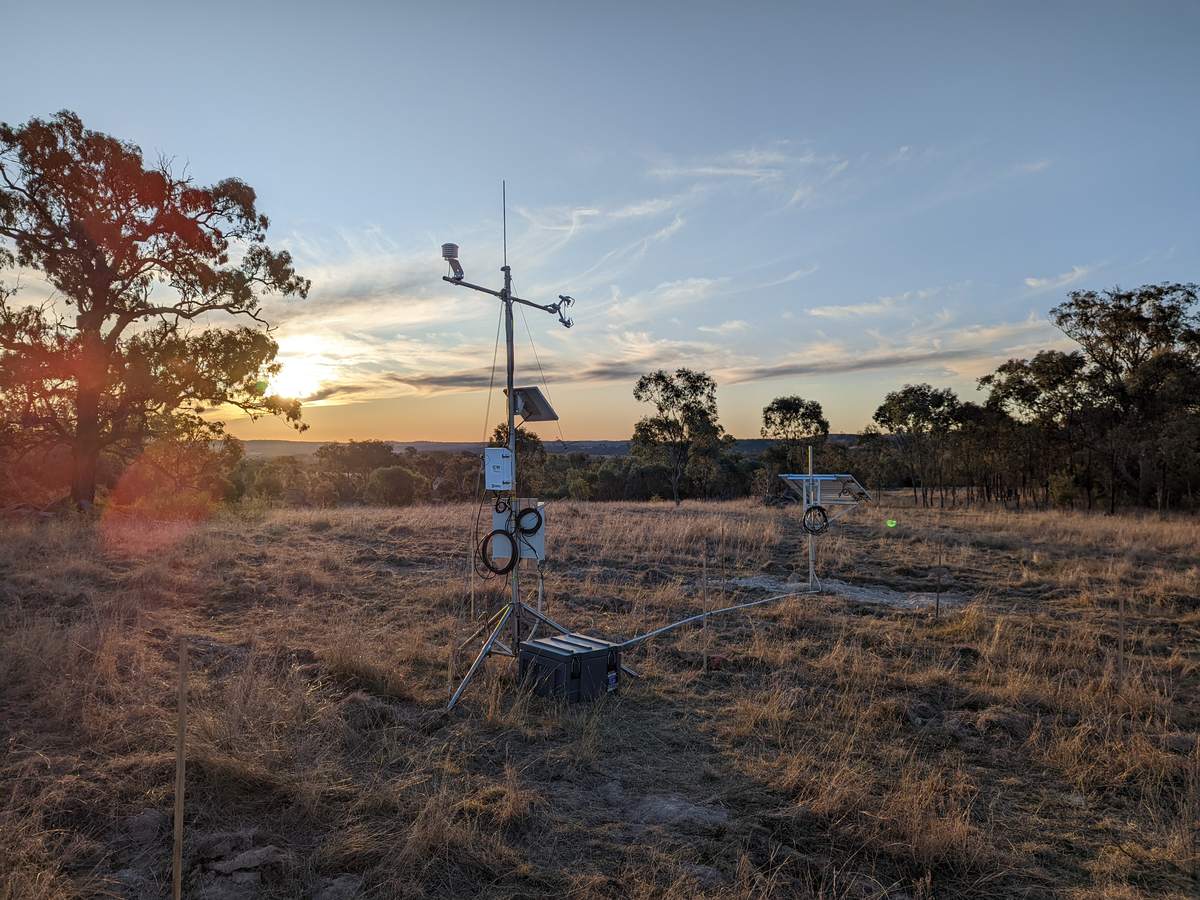
GAIT Flux sensor at sunset, Pike Creek, Australia

Australia and New Zealand · Multiple projects

Agricultural and soil carbon programmes

A series of projects on soil carbon and greenhouse gas flux across working landscapes, from a university research farm and a 6,500-hectare high-country station to carbon project sites in Australia.

  • Soil carbon and greenhouse gas flux monitoring
  • Research farm, high-country and project sites
  • University and industry partners

Partners across these projectsLincoln University, Soil Matters, Lake Hāwea Station, AgriProve and Corporate Carbon

More from the portfolio

  • Kingdom of Tonga

    Blue carbon finance

    Blue carbon and climate finance proposals to help structure conservation and restoration projects for investment.

    PartnerTonga Development Bank

  • 10 further countries

    Mapping and feasibility

    Indonesia, Malaysia, the Philippines, Cambodia, India, Nepal, Seychelles, Mauritius, the United Arab Emirates and Saudi Arabia.

Innovative technology, built in house.

A proprietary suite that takes projects from site analysis and feasibility through to monitoring and reporting, across blue, green and brown carbon.

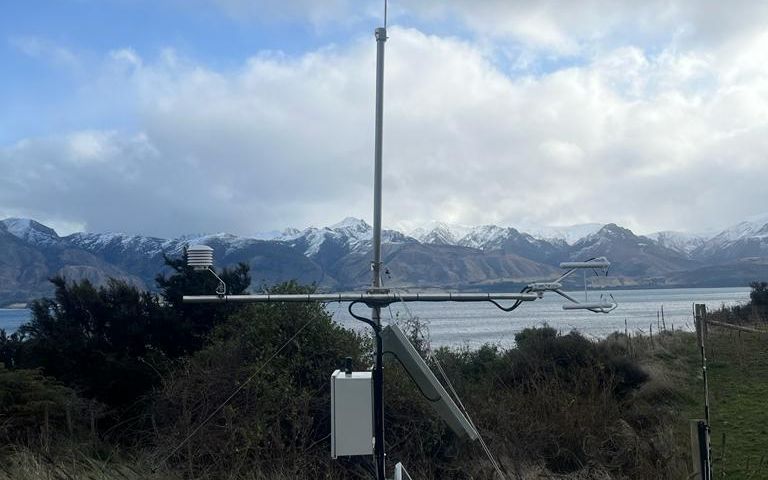
GAIT Flux sensor on a hillside above a lake and mountains

GAIT Flux

Real-time eddy covariance and soil carbon flux measurement, with hourly, daily and seasonal analysis through the cloud-based GAIT Portal.

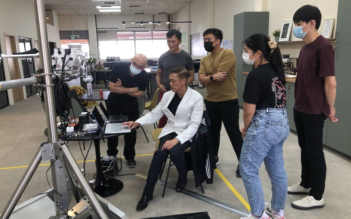
GAIT and A*STAR researchers reviewing sensor data in the lab

GAIT DMRV

A full end-to-end digital measurement, reporting and verification, GIS and spatial suite with proprietary AI/ML models, for blue, green and brown carbon.

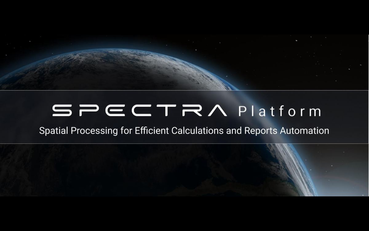
SPECTRA platform title screen

SPECTRA

Spatial Processing for Efficient Calculations and Reports Automation: automated site analysis, feasibility assessments, risk analysis and carbon credit calculations.

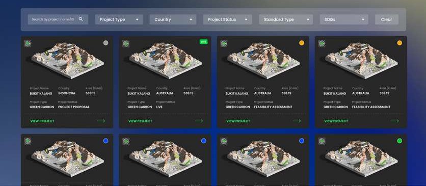
Carbon Watch project dashboard

Carbon Watch and C3

A unified project management platform with dashboards and digital monitoring, and an integrated Carbon Credit Calculator for methodology and scenario analysis.

Aerial view of a mangrove-lined coastline

Blue carbon · Methodology

Tidal wetlands and seagrass methodology

GAIT’s proprietary methodology for conserving and restoring tidal wetlands and seagrass ecosystems, funded by Temasek Foundation and independently validated by Earthood Services.

What does GAIT do?

A short film on our approach across forest, grassland and mangrove ecosystems.

Have a project, mandate or portfolio in mind?

We work with governments, financial institutions, landholders and communities on high-quality, large-scale nature-based projects.